
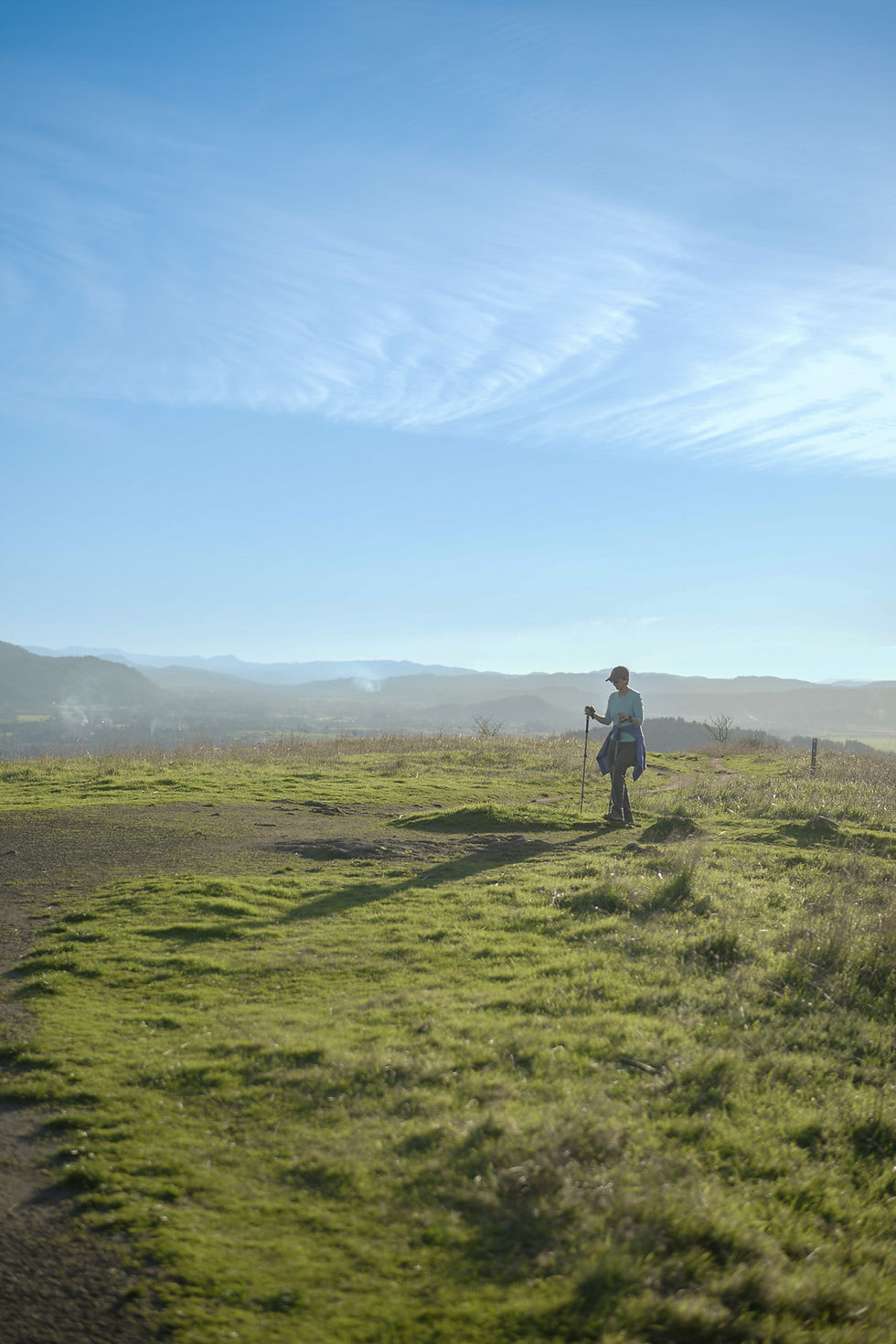
Trails
The nearly 30 miles of trails winding through Buford Park and Mt. Pisgah are a treasure for our community — and they don't maintain themselves. Friends of Buford Park and Mt. Pisgah work alongside our partners and volunteers to keep every path clear, safe, and beautiful for hikers, families, and nature lovers year-round. Your support makes that possible. Help us keep these trails open and thriving — donate today.
Parking & Access
Explore nearly 30 miles of trails, including the iconic Mt. Pisgah summit at Buford Park!
There are three parking lots: two on the west side off Seavey Loop Road and one on the east side off Ridgeway Road. Use the map key below to choose the best parking area for the trail you’d like to hike.
Parking requires either a daily fee or an annual Lane County Parks pass. With a $50+ donation to Friends of Buford Park & Mt. Pisgah — you can receive an annual parking pass valid at any Lane County park for the entire year.

About Buford Park
Howard Buford Recreation Area (HBRA) is a beloved natural destination just outside Eugene-Springfield, featuring Mount Pisgah’s iconic 1,518-foot summit. Spanning over 2,200 acres, the park offers nearly 30 miles of trails for hiking, horseback riding, and exploring rare oak savanna prairies.
Hours of Operations
The park is open dawn till dusk year round.
Parking & Enjoying the Park
To enjoy the park, visitors may pay a $5 daily parking fee or purchase a Friends membership for $50 — which includes an annual parking pass valid at all Lane County parks for the entire year.
Features of the park
The trail network at Howard Buford Recreation Area invites many ways to experience the landscape. Bring your dog to designated off-leash areas, ride along equestrian-accessible paths, or hike to scenic viewpoints with sweeping valley views. Gentle riverside paths and steady summit climbs offer both relaxing walks and rewarding adventures.
Trail Etiquette
Help care for this landscape while you visit. Stay on designated trails, yield to horses, keep dogs under control, and pack out trash. Please respect restoration areas and wildlife so the park can be enjoyed today and by future visitors.
Suggested Routes

Thompson Slough Loop - 1.5 mi
The Howard Buford Recreation Area offers access to an extensive network of trails along the Thompson Creek Slough and a fork of the Willamette River. This route stays in the north and makes a perimeter loop along the wetlands. This is a gorgeous place in the fall when the oak's leaves are turning.

Mt. Pisgah Summit Hike - 3.5 mi
Start by parking in the North bottom Lands parking lot to begin your 3.5 mile hike to the summit of Mt. Pisgah.

Dery's South Summit & Beistel's East Summit Loop - 4.8 mi
This trail begins from the parking lot off South Ridge Road and leads to the Howard Buford Recreation Area, passing through Dery's South Summit, Mount Pisgah, and Beistel's East Summit. Be prepared for steep sections and minimal shade along the route. However, the effort is worth it as the trail rewards hikers with stunning mountain views. Mount Pisgah also offers a bench to stop, rest, and enjoy the scenic landscape.


